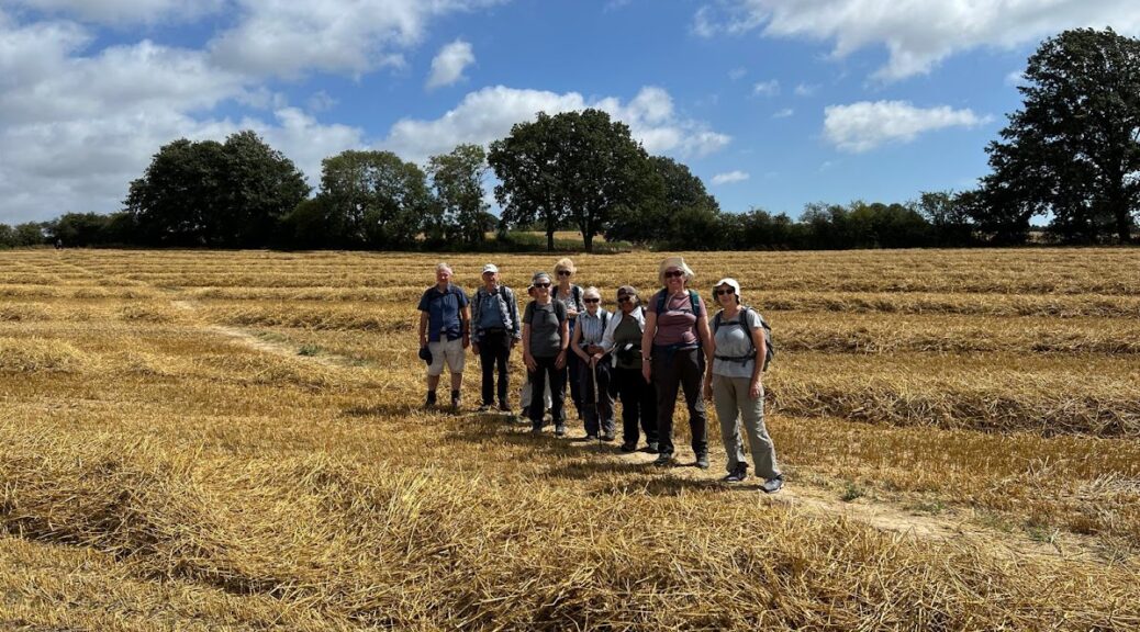
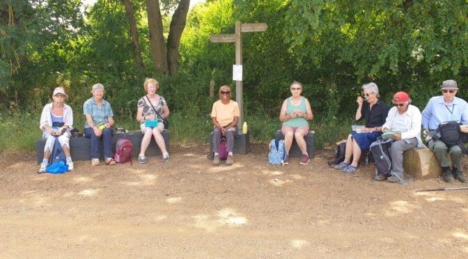
In this summer’s reliably hot weather, eighteen members set off from Banstead station for a circular walk of just over five miles in the countryside along the Surrey border. The group first crossed a busy road outside the station and shortly after the A217 dual carriageway, before reaching the calm environment of a golf course. Threading our way through the fairways, we came upon a junction of paths. Having only completed a recce a few days earlier, I was confident about which onward one to take.
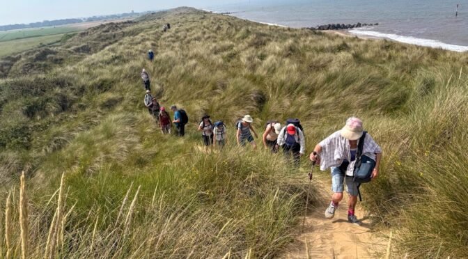
For the second year in a row, our trip to the Norfolk coast coincided with a heat wave in the south east, so we were delighted to hear reports from the early arrivals that Great Yarmouth was positively chilly in the evening. The town was clearly struggling economically but has a rich maritime history and those who managed to visit the Time and Tide museum were impressed. On the first evening most of the group gathered in the Alexandra restaurant for an excellent meal.
The next morning was hot as forecast, but we need not have feared as sea breezes came tumbling over us as we stepped onto Happisburgh beach. The cloudless sky had turned the sea a Mediterranean blue. A vast, white swathe of firm sands, damp from the retreating tide, made the going easy as we strode out to the sound of the waves. Continue reading Norfolk Coast Path: Happisburgh to Hopton on Sea 26-28 June 2026→
14 Polyramblers and a guest set off for our walk, on a sunny Sunday morning. We crossed Hammersmith Bridge to walk along the River Thames via the towpath towards Barnes, we walked through the Leg of Mutton nature reserve and spotted a couple of herons patiently fishing. Just before our lunch stop we saw a family of Egyptian Geese, mum, dad and at least 10 very young goslings who were feeding and paddling on the foreshore under the watchful eyes of their parents.
Ten of us met at Hadley Wood train station and thought of Geoffrey when I pointed out the memorial plaque to Sir Nigel Gresley, designer of the famous ‘Flying Scotsman’ and ‘Mallard’ locomotives who used to live in Hadley Wood.
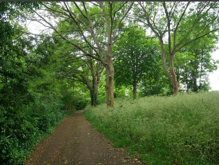
An elite team of 4 walkers arrived at Bentley station with no problems on the line, which was an unusual & auspicious start to the day. It was hot, 1 degree under the recommended ‘Cancel-the Walk’ temperature, but as we were going to be mostly in woodland, it was actually very pleasant.